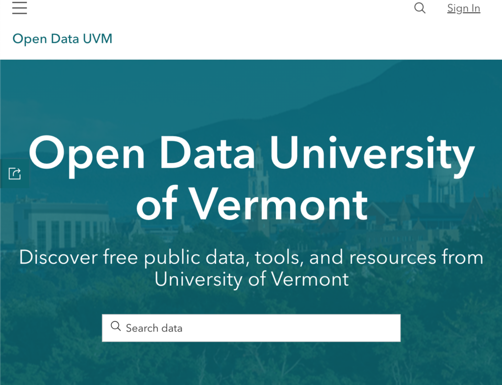
GIS Open Data Portal
Quicklink
Partners
The Spatial Analysis Laboratory (SAL) is a cutting-edge Geographic Information System (GIS) research facility in the Rubenstein School of Environment & Natural Resources at the University of Vermont (UVM).
Summary
In Progress (Started October 2022)
Open data is data that is openly accessible, exploitable, editable and shared by anyone for any purpose. At UVM a large amount of data is created through research that may not be accessible to the general public and the goal of this project was to create a Geospatial Information Systems (GIS) Data Portal to publish appropriate data for general access through the ArcGIS hub. This was done in conjunction with the UVM Spatial Analysis Lab.
Details
The process for setting up this portal included getting agreement among stakeholders, determine the minimal viable product to launch a portal and set up permissions to do so.
We selected ArcGIS for hosting because there was already an active account for UVM, many state agencies use it for hosting there public data, and most of the datasets were already there.
Once all of those steps were complete, VERSO set up a hub page and explored how to present UVM data as part of that “group” so it was publicly visible. After some trial and error, data from a select group at UVM was published on the portal and categorization was completed.