Vermont Flooding: Humanitarian Open Street Mapping
What is the Problem?
Massive rainfall has caused extensive flooding across the Northeast with Vermont seeing extensive flooding across the entire state with some towns even being entirely cut off by destroyed roads.
What is the Goal?
Add roads and waterways that are not already marked using satellite imagery in Open Street Maps (https://www.openstreetmap.org/) to aid in the response to this disaster. The State of Vermont has a lot of geospatial data from the Vermont Center of Geospatial Information so these improvement will likely be used by individuals or other organizations responding to the disaster. We want to map what was there prior to the flood, not add changes due to flooding impact.
How do we accomplish this
Using open platforms like OpenStreetMap allow literally anyone with an internet connection to modify the map by tracing satellite images. We will be working primarily within these areas:
Beginner Mappers: https://tasks.openstreetmap.us/projects/431
Intermediate Mappers: https://tasks.openstreetmap.us/projects/430
What will we do?
In about 5 minutes we’ll walk new participants through everything you need to know, then spend the rest of the time mapping. Resources will be provided for those who end up joining late so they can get right to contributing. This event is virtual to encourage people to stay where they are for safety, and local expertise is highly desirable.
Mapping Instructions
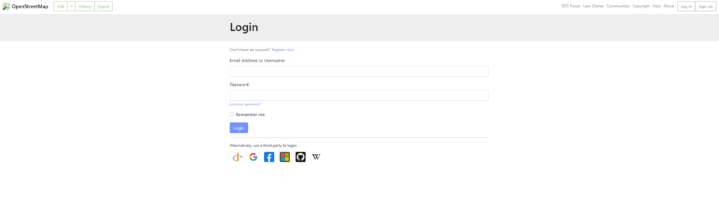
1) Make an account with Open Street Map https://www.openstreetmap.org
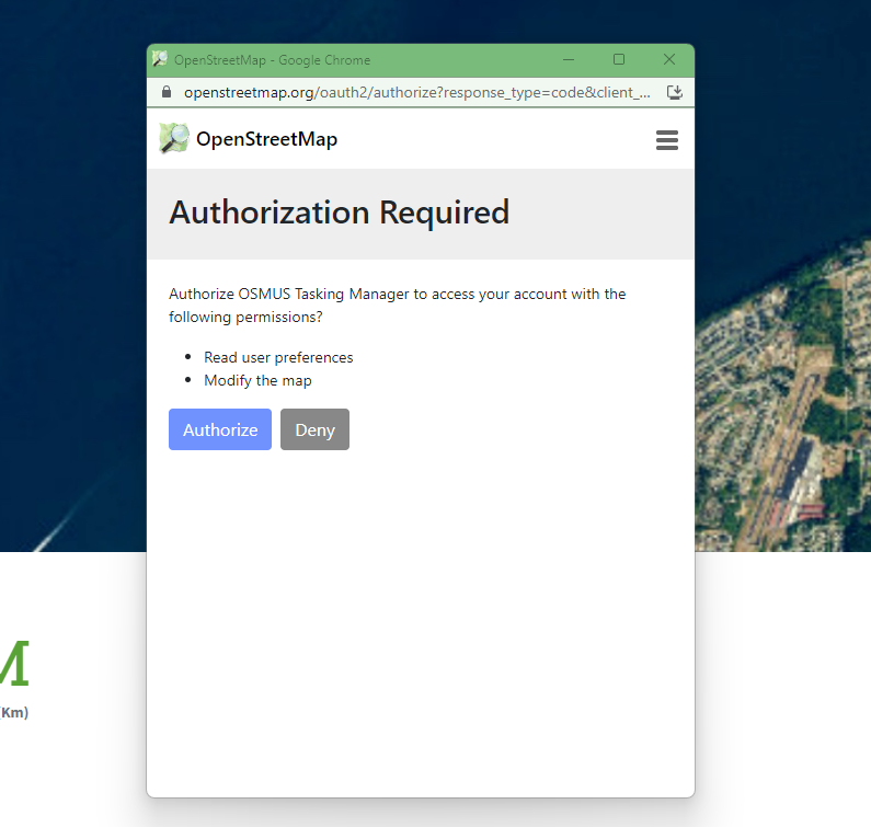
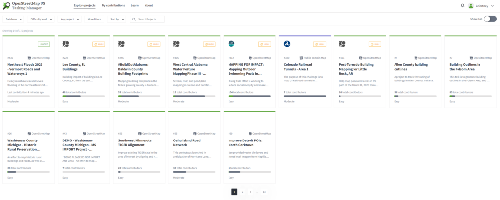
2) Connect your OSM account with the Task Manager – you can use your OSM login to access the tasks https://tasks.openstreetmap.us
- Beginner Mappers: https://tasks.openstreetmap.us/projects/431
- Intermediate Mappers: https://tasks.openstreetmap.us/projects/430
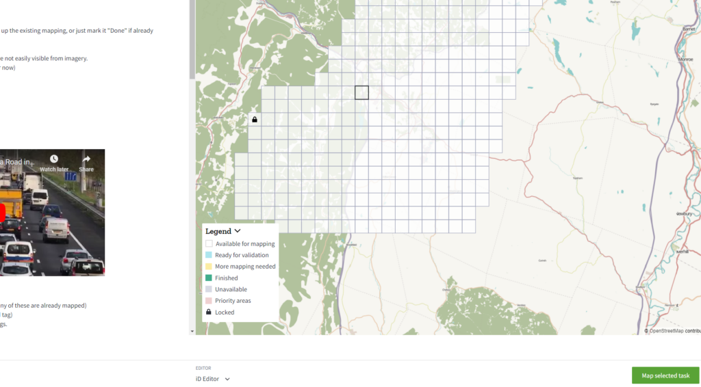
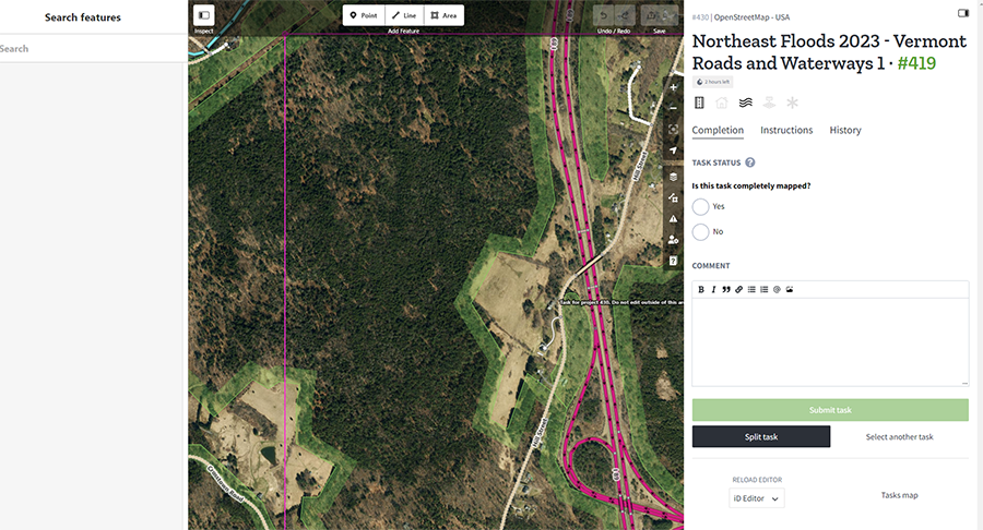
4) Select a white map square to edit – this is the boundaries of where you should work, when in the editor you will see a pink box showing the boundaries
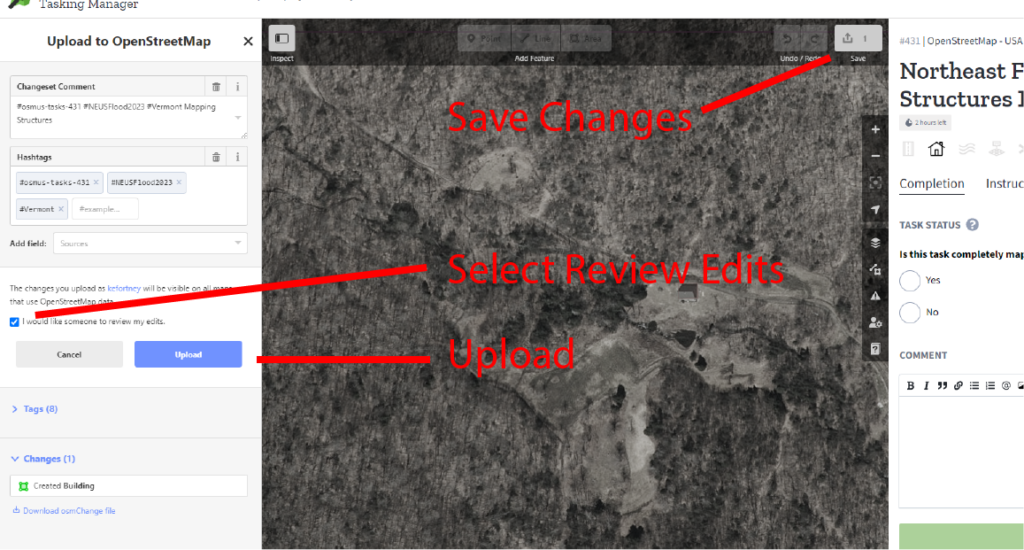
6) Save the edits – This saves edits to Open Street Maps, comments are prepopulated and by selecting to have someone else review your edits it ensures that what you did is accurate
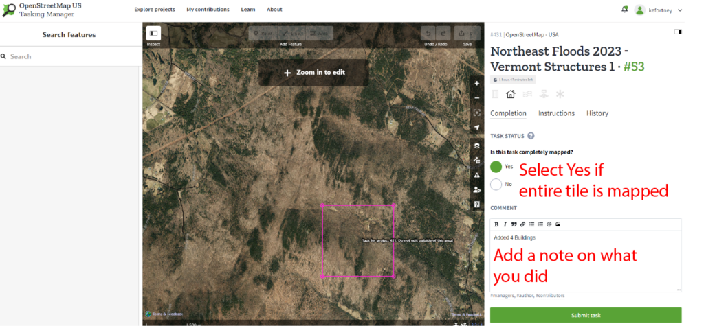
7) Submit Changes – Select yes if you mapped all the required objects from the project description (i.e. all buildings or roads), if not select No will make that task available for others to complete. Add a note so it is clear what you did. If you want to not do this task you can select a new task below the “Submit Task” button.
Helpful Hints
- If you have not yet viewed it, you will be given the option to watch a tutorial on how to use the editor. You can replay the walkthrough anytime or view more documentation by clicking the Help button or pressing the ‘H’ key.
- You can view a list of commands along with their keyboard shortcuts by pressing the ‘?’ key.
- There is also a tutorial at https://mapgive.state.gov/learn-to-map/
- Useful shortcut: after making a shape and naming what it is, you can hit “Q” and it will square the
- While you are mapping a task, it is locked, and other users cannot access it. When you are ready to stop mapping, Save your work, and return to the task tab to release the task. Enter any comments you feel would be helpful.
- If you must stop before the mapping is complete, click on the “Stop Mapping” button. The square on the HOT map will remain white, and others can continue where you left off.
- If the mapping is complete, click on the “Mark as Completely Mapped” button. The square on the HOT map will be tan (Mapped), and will not be available to other mappers.
- If you requested during a Save that your work be verified, after verification, the square will be green (Verified). If the verifier feels it would be helpful, s/he may send you a message with feedback about your work.