ORCA Pod Vermont Zoning Atlas (VTZA)
Repo: https://github.com/thebestyoshibird/VT_Zoning_Atlas
Tasks: https://github.com/thebestyoshibird/VT_Zoning_Atlas/issues
UVM Research Partner: Yoshi Bird
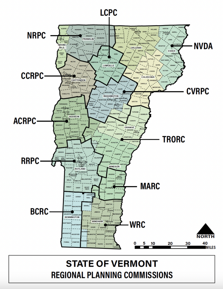
The Vermont Zoning Atlas is a web-based geospatial interface that visualizes zoning code distributions across all of Vermont. Zoning rules can present barriers to effective city planning, impairing our ability to achieve important policy objectives like community desegregation, climate change resiliency, transportation access, homelessness relief, and affordable housing development. The Vermont Zoning Atlas seeks to democratize researchers’, policymakers’, advocates’, and everyday citizens’ understanding of zoning regulations and enable apples-to-apples cross-jurisdiction comparisons through a methodology developed by our partner, the National Zoning Atlas. Without this tool, one would have to read thousands of pages of dense legal code to answer simple questions – this is why we believe our tool will democratize zoning policy and make it possible for advocates and researchers to identify barriers to things like affordable housing development, climate resiliency, and community desegregation more quickly.
In the News: Housing Forward Virginia – Zoning Atlases Across the Map: Vermont, August 24, 2023

Partnerships
The project is in collaboration with the following
- Vermont state Agency of Commerce and Community Development (ACCD)
- Department of Housing and Community Development (DHCD)
- Vermont Association of Planning and Development Agencies (VAPDA)
- Vermont Center for Geographic Information (VCGI)
- Vermont Housing Finance Agency (VHFA)
- Champlain Valley Office of Economic Opportunity (CVOEO)
- Fair Housing Project
- Vermont Affordable Housing Coalition (VAHC)
- UVM’s Open Source Program Office (VERSO)
- University of Vermont Gund Institute
- Middlebury College Geography Department
Roles and Tasks
Job Duties/Responsibilities:
- Reviews and compares zoning by-laws and land use rules for each jurisdiction in Vermont
- Catalogs the attributes of each district’s rules according to the National Zoning Atlas methodology, including identifying jurisdictional and district information, dimensional standards, and due process requirements
- Enters data into the National Zoning Atlas Editor workspace for review and joining with GIS file
GIS duties:
- Accesses open-source zoning district geoJSONs
- Performs topology checks to find and correct invalid geometries and boundary issues (e.g., overlapping base districts, polygons drawn outside jurisdictional boundaries, gaps/slivers between base districts)
- Merges non-continuous district polygons into multi-polygons
- Georeferences an existing geoJSON against the official zoning map .pdf to ensure accuracy of district boundaries
- Manually creates zoning district files where none exist
- Updates attribute tables with required columns according to the National Zoning Atlas methodology
- Reports any complications, problems, or questions to the Project Director for technical assistance
Team

Zoe Srede
My name is Zoe Sreden, I am from Maine and am currently a senior at the University of Vermont. I am a Geography major with minors in Global Studies, Community and International Development, and Green Building and Community Design. I am focusing my studies on urban planning and sustainable development, and have interned with Chittenden County Regional Planning Commission previously.

Emma Eash
I'm Emma and I'm a junior studying Environmental Sciences with a minor in Geospatial Technologies. I enjoy learning how to apply technical skills like GIS to environmental issues. In my free time I love reading fiction or fantasy books and gaming. I'm looking forward to working on this project and learning new things!

Anoushka Pschorr
Anoushka Pschorr is currently a Junior at UVM studying Community-Centered Design. She has been an intern for the Burlington Department of Public Works for over a year and is looking to pursue urban planning. She is a native of Vermont, and enjoys the balance of urban and rural spaces in Burlington.

Zachary Winigrad
My name is Zachary Winigrad, and I am a sophomore double majoring in Environmental Science and Applied Ecology. I come from New Jersey, but the past two years in Vermont have been phenomenal! I am very excited to utilize my GIS skills with VTZA this spring!

Tucker Schulz
Hi, my name is Tucker Schulz. I am a Junior at UVM majoring in Computer Science and I am from Grand Rapids, Michigan. Outside of classes I enjoy snowboarding, rock climbing, and reading fiction. I am super excited for another semester as well as the opportunity to start on the VT Atlas project.
